Trip Suitability
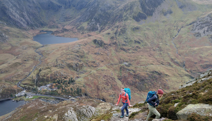
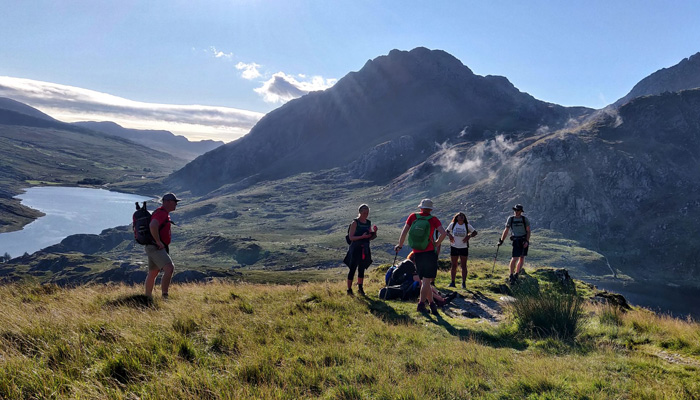
You need to have a very good level of fitness and experience of walking with a rucksack in hiking boots or sturdy walking/running shoes. You will be walking through mountainous environments on uneven and steep terrain that will be challenging at times. This is a group trip and we aim for participants to enjoy it as much as possible, for that reason we recommend you undertake some challenge-specific training before the challenge, details of which will be included in the Joining Instructions.
Anything cardiovascular will help (walking, cycling, swimming, running, gym), but we also recommend you have practice tackling some hills whilst wearing the boots and rucksack you’ll be using on the mountain. Importantly you need to do some longer (2+ hour) walks so you will know what is required. We cannot control the weather so don’t forget to bring your sense of humour on the hill! The more you train, the more you’ll enjoy this incredible hiking challenge!
For a more detailed training plan, please get in touch.
Itinerary
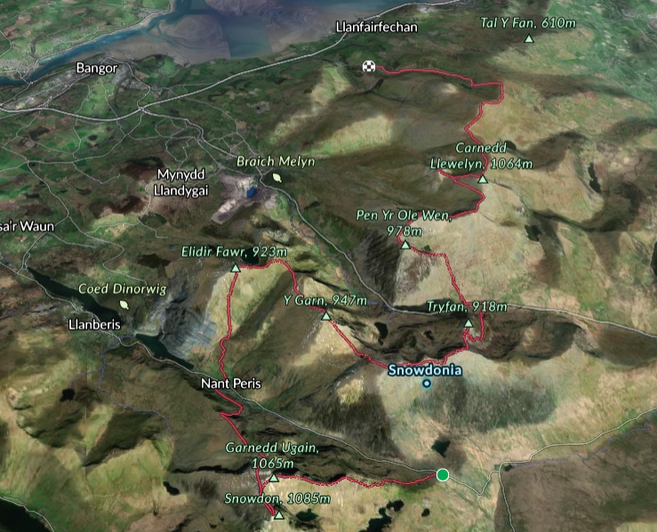
Our route begins from the popular Pen y Pas car park at the top of the Llanberis Pass. Here you’ll meet the rest of the group and your leaders. There are toilets available and you’ll also be able to place a bag with extra snacks, clothing and drinks in our support vehicle for our planned refreshment stop.
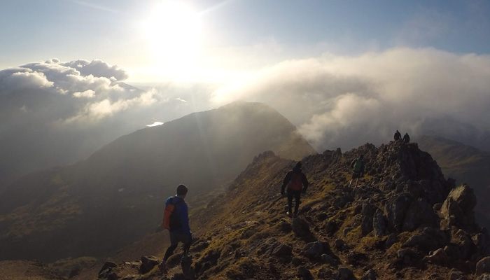
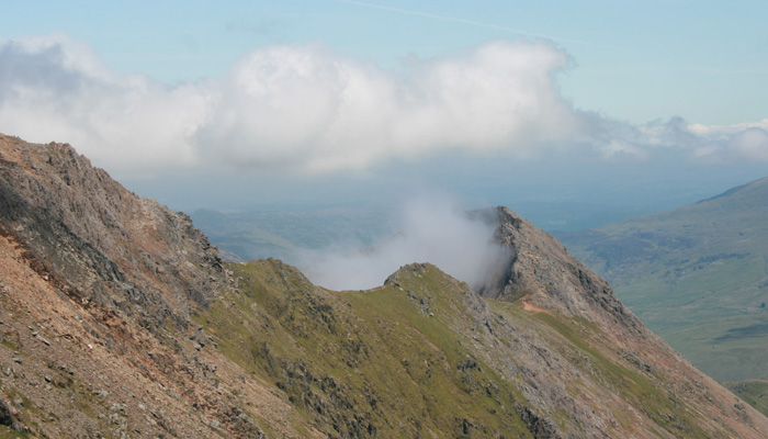
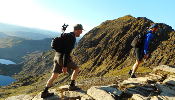
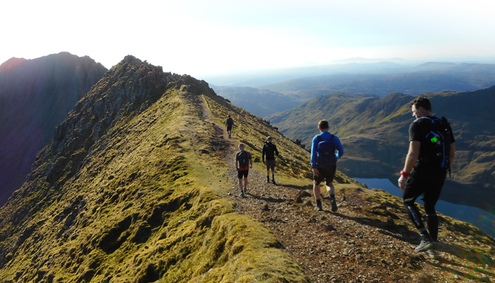
After a safety brief, overview of the day and kit check, we’ll begin by following the Pyg track then embark upon arguably the most technically demanding section of the challenge, the narrow edge of Crib Goch. This is exposed in parts demanding a good head for heights and some hands-on scrambling. Our first summit is the peak of this infamous ridge, Crib Goch (Red Ridge, 3028ft/923m). From here we’ll continue along the ridgeline to our second peak which is the second highest in Wales, Crib-y-Ddysgl (Ridge of the Dish, 3494ft/1065m) or Garnedd Ugain (Cairn of the Twenty) as it’s also known.
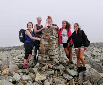
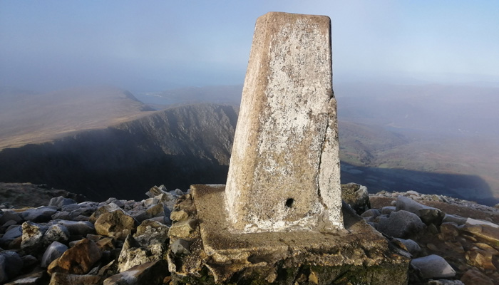
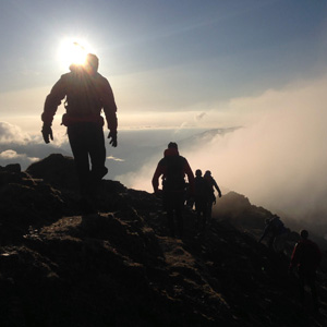 Further along the ridge we meet and follow the railway line from Llanberis south for the final few hundred metres up to the summit of the mighty Snowdon/Yr Wyddfa (3560ft/1085m). You’ll be stood on the highest point in Wales, a pyramidal peak of an extinct volcano carved by glaciation millennia ago. It’s a pretty special moment and one to be savoured!
After a few summit photos we descend following the railway track before turning east descending into the Llanberis Pass to the road at Nant Peris. We then begin to climb back up the other side into our second mountain range of the challenge – The Glyders. Skirting the vast slate quarries, we ascend onto the shoulder above Cwm Dudodyn to the summit of Elidir Fawr (Great Elidir, 3031ft/923m), the northernmost peak in the Glyderau.
From the summit of Elidir Fawr the route follows the ridge high above Cwm Dudodyn and Nant Francon to our next peak, Y Garn (The Horn, 3107ft/947m). From the summit of Y Garn you’ll descend to Llyn y Cwn above Devil’s Kitchen before ascending to Glyder Fawr (Great Glyder, 3284ft/1001m). It’s then a relatively undemanding hop from here to our third peak, Glyder Fach (Little Glyder, 3261ft/994m).
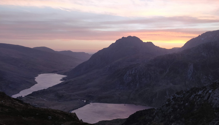
From here we descend the east ridge of Glyder Fach then cross the saddle at Bwlch Tryfan onto the south ridge of Tryfan (Tryfan, 3010ft/918m), an impressive shark fin of rock that looms over the valley floor below. There are a couple of scrambly sections but much of the height we have already gained so it’s a relatively straightforward out and back along the south ridge. Back at Bwlch Tryfan we then descend down Cwm Tryfan to Gwern Gof Uchaf for a well-deserved rest stop and refreshments.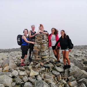
Our next peak lies in the second mountain range of the day, the Carneddau. The translation of Carneddau means ‘cairns’, the piles of stones that have been used to navigate the wilds of the mountains for centuries. Despite being so close, the Carneddau have a very different appearance to the Glyders, with more rounded peaks and a far less jagged landscape. We begin our ascent at the eastern shores of Llyn (Lake) Ogwen, following Afon Lloer onto the shoulder of our fourth peak, Pen yr Ole Wen (Head of the White Slope, 978m). On a clear day it’s possible to see the colourful houses of Beaumaris, Holyhead Mountain and the fabulous coastline of Anglesey. Once we’ve reached this summit, we’ve completed much of the ascent for the day which hopefully will make the latter part of the day a little easier.
It’s a pleasant stroll around the head of the Lloer valley to our next peak, Carnedd Dafydd (David’s Cairn, 1044m). We continue northeast along the wide and traverse from Bwlch Cyfryw-drum to the ninth highest mountain in Snowdonia, Yr Elen (3156ft/962m). We then backtrack along the ridge to the highest peak in the Carneddau range, Carnedd Llewelyn (Llewelyn’s Cairn, 3491ft/1064m). From the summit of Carnedd Llewellyn it is possible to see the remaining peaks in the distance ahead.
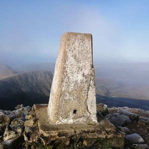
Our next peak is Foel Grach (3199ft/976m) then Carnedd Gwenllian (Gwenllian’s Cairn, 3035ft/926m). Until 2009 this peak was named Garnedd Uchaf until a campaign by the Princess Gwenllian Society succeeded in having the peak renamed in honour of Gwenllian of Wales.
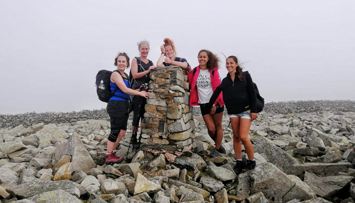
Just beyond here is Foel Fras (Broad Hill, 3097ft/942m), your final peak – congratulations, you’ve completed the Welsh 3000s! After a few celebratory hugs and photos on the summit, we’ll descend into the valley below and pick up a wide track that leads to our support vehicle. Here you’ll be transferred back around to the start point for your return journey home and here the trip ends – what an adventure!
Our route
This itinerary is a guide only and can sometimes be subject to change due to unforeseen circumstances, including adverse weather. Whilst we endeavour to uphold the proposed timings, this cannot be guaranteed and an alternative route may be required.

 Further along the ridge we meet and follow the railway line from Llanberis south for the final few hundred metres up to the summit of the mighty Snowdon/Yr Wyddfa (

